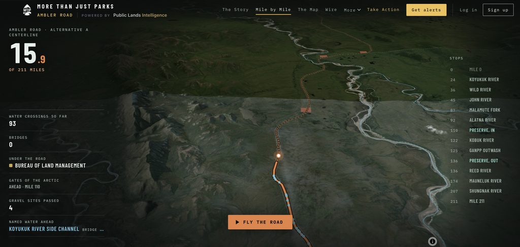
A new report lays out the risks of a massive industrial road planned for Alaska’s Brooks Range. Created by public lands journalists Will and Jim Pattiz, “Ambler Road, Taken Apart” maps the entire course of the proposed 211-mile road. It also provides detailed information on land ownership boundaries, stream and river crossings, threats to fish and wildlife, and more.
As Field & Steam has previously reported, the Department of Interior’s plan to move forward with the Ambler Road has spurred local and national opposition from hunting and angling groups like Hunters & Anglers for the Brooks Range. It comes despite a 2024 determination from the Bureau of Land Management that said the road would cause “unmitigable impacts to critical fish habitats, permafrost, the Western Arctic Caribou Herd, and Alaska Native subsistence traditions along the Brooks Range.”
There’s a lot of information out there on the proposed Ambler Road project. But the Pattiz brothers, who run a popular Substack called More Than Just Parks, have identified and mapped every water crossings—2,543 of which are on public land, according to their report. Those crossing would come with 41 gravel mines to facilitate road construction, numerous spur roads coming off the Ambler, air strips, man camps, and open-pit mines.
“We counted every water crossing on the applicant’s own centerline and got 2,932, the same total the federal record gives.” says Will Pattiz. “That’s about fourteen crossings for every mile of road.”
By The Numbers
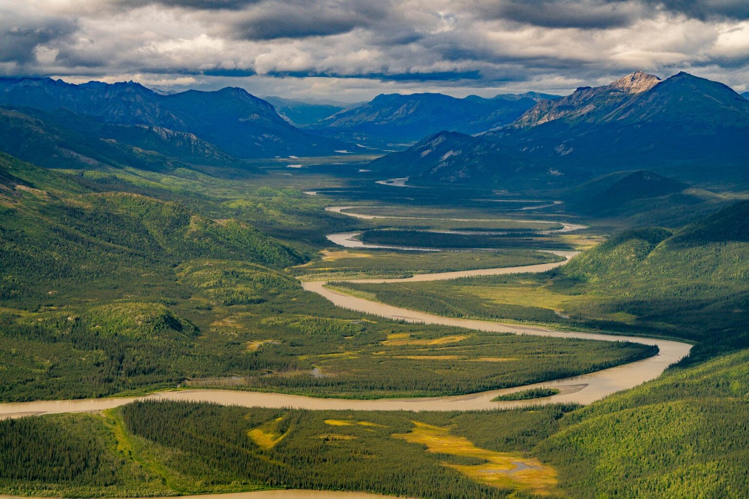
At a more granular level, the Pattiz project cites the type and number of individual construction projects that a completed Ambler Road would require. That includes 44 material and rip-rap sites, 137 access and spurs roads branching off the Ambler, 31 camps, stations, and turnouts, 12 communication facilities, and 32 bridge footprints. All of this would crop up in a portion of the southern Brooks Range that is currently pristine and undeveloped. The area is bucket-list destination for hunters and anglers. It may be best known for its caribou hunting and its world-class fishing for Arctic grayling and sheefish.
The road would be made of gravel for its entire 211-mile course. And it would be closed to the public by guarded gates on both ends, at least in its initial phases. According to federal documents obtained by More Than Just Parks, the project would include three building phases, and the road itself would be 250 feet wide. One of the most controversial sections would cut through Gates of the Arctic National Park and Preserve, just a few miles north of Walker Lake.
Public Comment Opportunity
The report coincides with a recent announcement from the US Army Corps of Engineers that it plans to build a large open-pit mine on what would be the western terminus of the Ambler Road. That mine would have a “a total disturbance footprint of approximately 1,727 acres,” the Army Corps reports. Mine operators will have to truck the ore down the Ambler to the adjoining Dalton Highway, which would connect with the Ambler near the small outpost of Coldfoot, Alaska.
Read Next: Feds Announce Plans for Open-Pit Mine Tied to Ambler Road in Alaska
The so-called Arctic Mine would be owned and operated by two foreign mining outfits—Canada-based Trilogy Metals and Australia-based South32. In an unprecedented move, the federal government has taken a 10 percent ownership stake in Trilogy Metals via a $35.6 million strategic equity investment from the Department of War. The comment period for this initial Ambler Road mining project is still active on the Army Corps’ website and will run through November 2, 2026.
All new! 1871 Club Field Trips